Showing posts with label GIS and DSS. Show all posts

Wednesday, March 7, 2012

The India-WRIS project

The India-WRIS project is a joint venture of Indian Space Research Organisation and Central Water Commission.It aims to develop an online, user friendly application that shall bring all information related to the water resources of the nation at single window wherefrom all the interested users can obtain it and make use of it. The vision of the project is to make available all water resources related data in standardized GIS form to the user community by achieving the objectives of creating and collecting all such data available through various sources. It's scope includes the generation and collection of data pertaining to 30 geospatial layers whose comprehensive information will be provide to the end user. This information will be dessiminated to the end user through a web based geo-spatial application which forms an integral part of the deliverables. The proposed web application will be released in a 2D-application form and also with the 3D View.
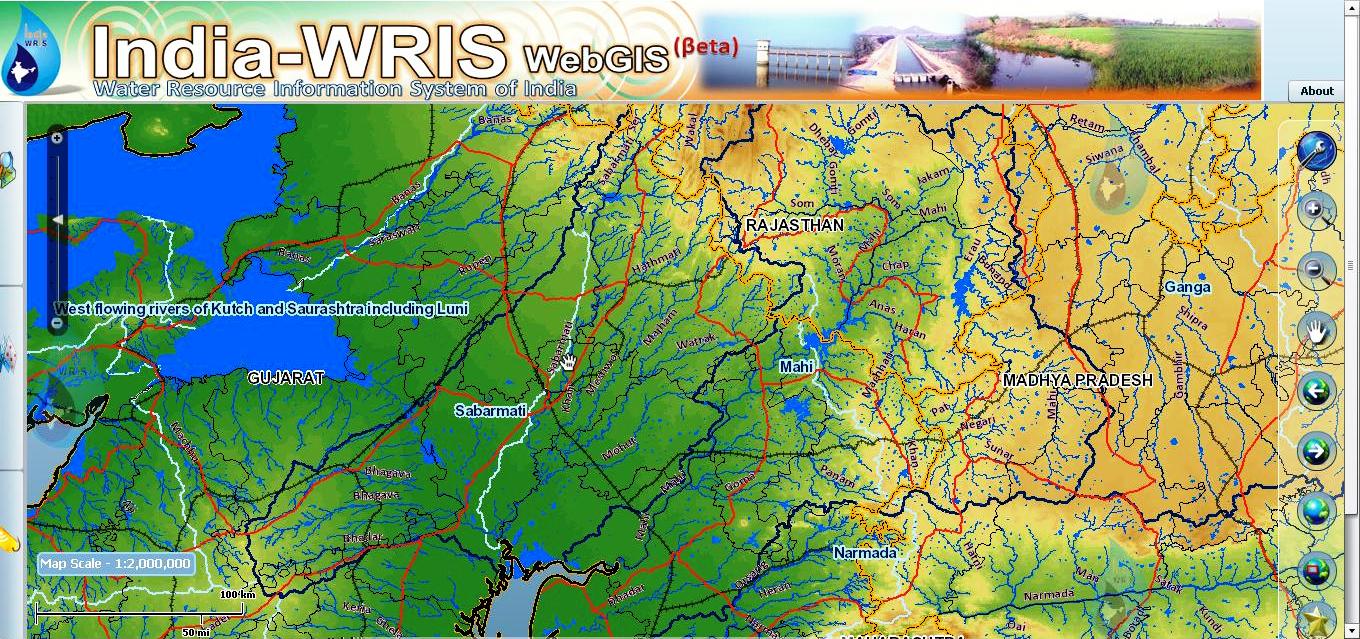
For accessing portal click here

Monday, July 25, 2011

WDSSFI (Webbased Decision Support System for Infrastructure)


Home Page

Selection Page

Land Use System Interface
Functionality 
Non-spatial Data
Sanitation System Interface
Functionality

Tuesday, July 19, 2011

Utility Mapping for Decision Support System

The system basically developed for the decisions supports for particular company. It basically provides the rich GUI interface from which you can identify the low rise area, land-use, high rise areas etc.. It also provides the interface for dynamic querie generation.

Interface
Land Use
Query Builder


Map Browser

Thursday, July 7, 2011

Geospatial Editor

"A Geospatial Editor contains a Digitizing Tools which help to create the vector data through web. Through Geospatial Editor you can add the new features easily in existing maps and also add the unclassified features. It provides you three methods for adding the spatial data (adding features) and it also provide you to add the non-spatial data related to that feature"

Snapshots

Geospatial Editor Interface
Editing Example
Note:- 

After working on open source technology I can conclude that it is boon for GIS user because as in the market there are various GIS Products are available but they are costly and also required many resources to use it.  As using open source you can easily build a smart GIS products which required less resources and it’s cost would be also very less. And the work did by GIS user using proprietary GIS software it also easily done by open source GIS products